The ancient farmhouses of Capriana, the wild Avisio, and the splendid hamlet of Rover
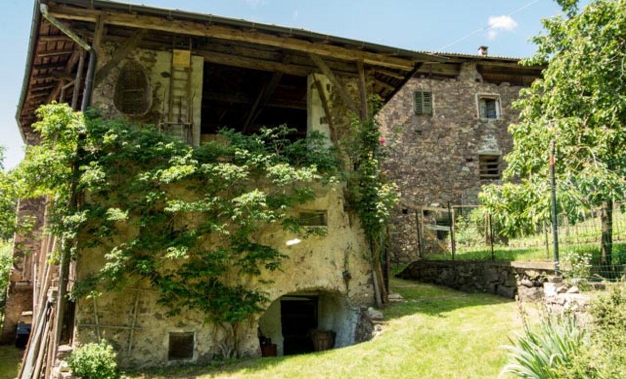
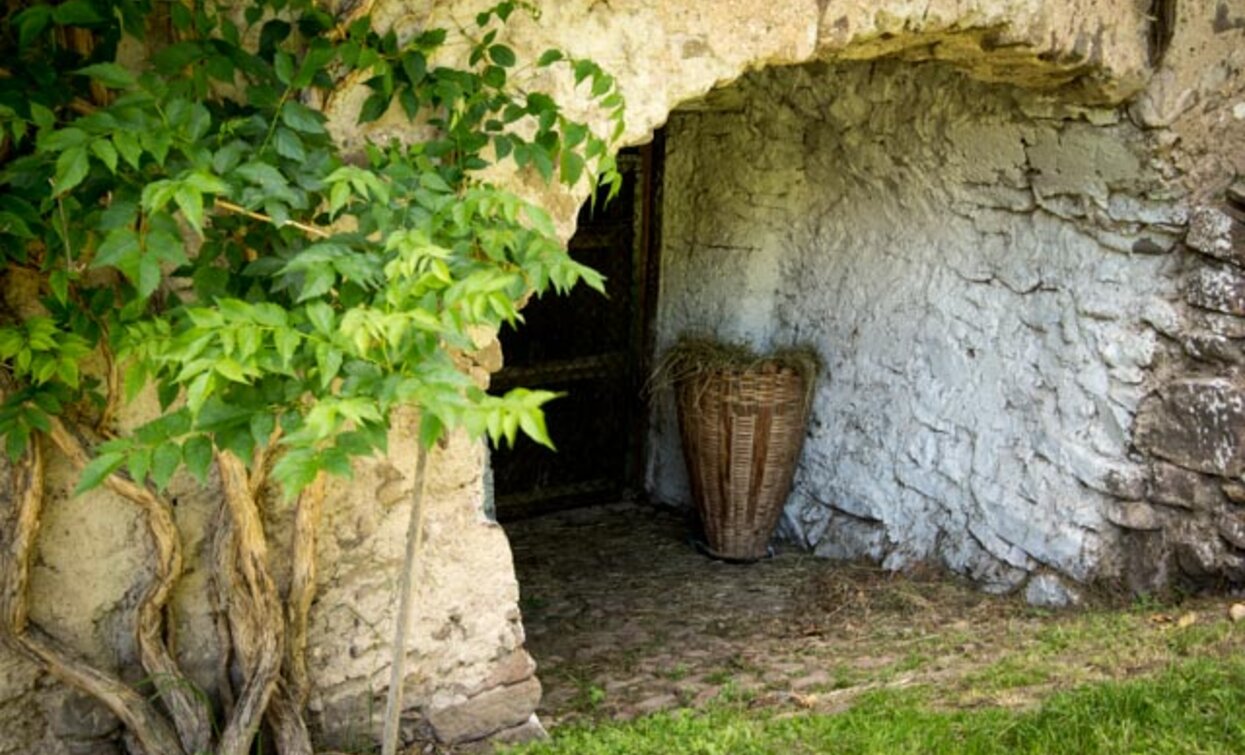
Our route starts from the square of Capriana and descends until reaching SS 612 near the Miravalli restaurant. Here, it takes the path to Maso Lio and retraces paths that once connected ancient farmhouses, now partly abandoned.
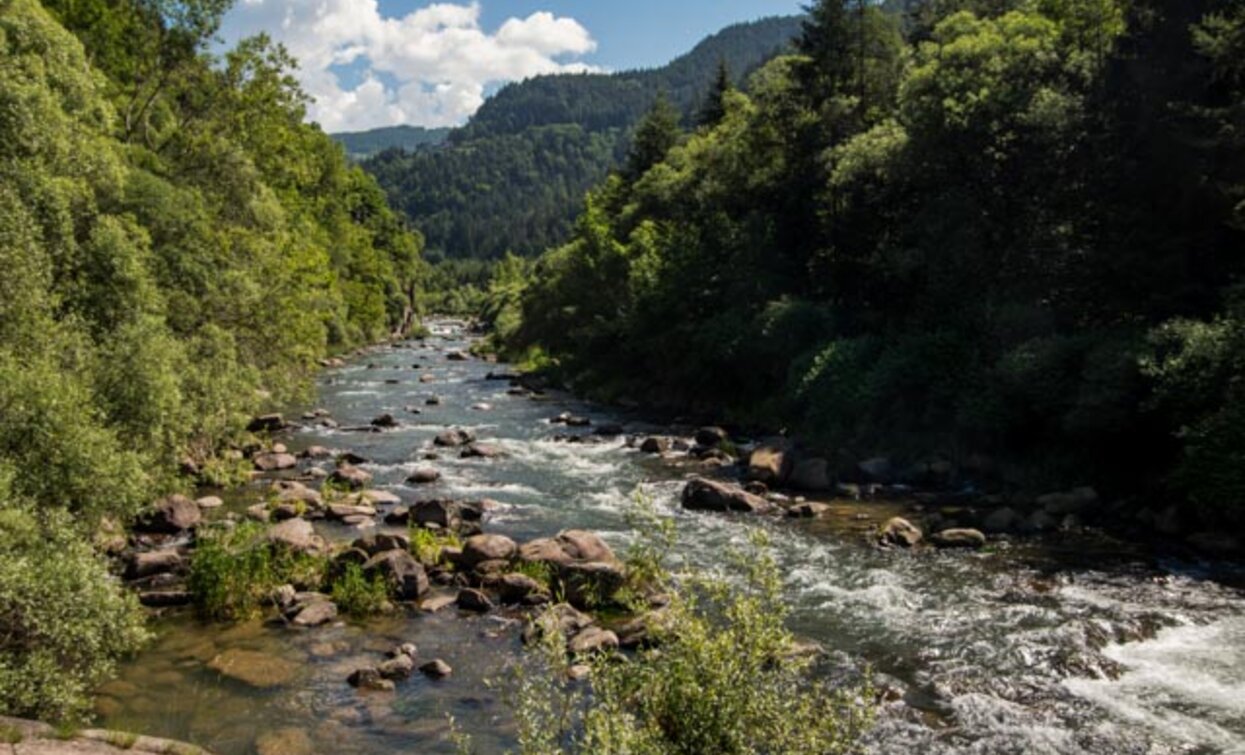
A panoramic and suggestive stretch runs along the Avisio stream until reaching Maso Ponte: this place in the last century was inhabited and surrounded by gardens, fields, and vineyards. Today only ruins remain near an ancient crossing that linked Capriana and Valfloriana, swept away by the 1966 flood. Here the Avisio stream shows its full magnificence, thanks to a still intact wild nature. We follow it for about 1 km before taking the climb to Maso Rover, a beautiful hamlet of Capriana. At Rover, the landscape tells us the story of this place: steep terraced fields, the small church built by the workers who built the Stramentizzo dam, houses abandoned following the 1966 flood. Here, a small farm, FiordaLisa, has resumed cultivation of the terraces with vegetables, medicinal plants, and ancient local bean varieties.
The route continues to the small but lively hamlet of Carbonare, which definitely deserves a visit, and then reaches the Beata Meneghina Mill Museum, an important figure of the local devotion. You then return to Capriana following a comfortable path.


Alta Val di Cembra-Avisio Reserve Network
www.reteriservevaldicembra.tn.it
Visit Trentino
Meteotrentino
Fiordalisa farm
It is worth observing along the route the hamlets of Maso and Ischiazza di Valfloriana that emerge from the forest on the other side of the valley, hamlets abandoned during the 1966 flood and never inhabited again. At Maso Rover, the Fiordalisa farm is worth a visit (to be arranged with the owner Lisa Dotta - website fiordalisa.jimdo.com).
Although the route does not present particular technical difficulties nor dangerous stretches, we always advise respecting general safety rules for mountain hikes.
The information contained in this sheet is subject to inevitable changes, so no indication has absolute value. It is not possible to entirely avoid inaccuracies or errors, considering the rapid environmental or weather changes that may occur. In this sense, we decline all responsibility for any changes affecting the user. It is advised, however, to check before setting out about the condition of the places and environmental or weather conditions.
From Capriana, descend until you reach state road 612 near the Miravalle restaurant and the junction for Maso Lio. From here, reach Maso Lio and then the locality Le Caneve. The route becomes a path that runs alongside the Avisio stream and arrives at Maso Ponte and then Maso Rover. From the fountain at Maso Rover, follow the right road that brings you back to intersect SS.612. On the opposite side of the road, a concrete ramp indicates the path to take to reach the hamlet of Carbonare. After visiting the charming hamlet, return to Capriana following the paved road until you reach the Meneghina Mill. Once down to the mill, return to Capriana via the path running parallel to the paved road.
Accessible by public transport Trentino trasporti esercizio S.p.A. Line B102 stop Capriana. Info on costs and schedules at www.trentinotrasporti.it
For those coming from Trento, follow SS.612 northbound to Capriana where, in the center of the town, is Piazza Roma, the starting point of our route.
For those coming from Val di Fiemme, follow SS 612 southbound to Capriana where, in the town center, is Piazza Roma, the starting point of our route.
Parking in Piazza Roma (Capriana)